Working with Stakeout
252
32.5
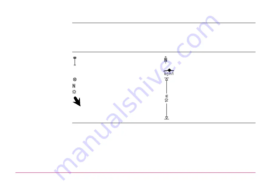
Understanding the Stakeout Icons in MapView
Description
A graphical display provides a guide to find the point to be staked out. The elements of the
graphical display used within the Stakeout application program screens are explained in this
chapter. Some of the elements depend on the selection for Orientate in STAKEOUT Config-
uration, General page. Other elements are commonly displayed.
The Map page provides an interactive display of the data.
Elements of the
graphical display
Graphical display
If the antenna is too far away and the scale is >1000 m, the antenna is not shown and the
point to be staked circle is grey.
Rover
North arrow
Last or known point
Point to be staked
Current scale
North
Sun
Arrow
•
Short arrow when within 1 m of the
point to be staked
•
Large vertical arrow for DTM Stakeout
Содержание GPS900 Series
Страница 1: ...Leica GPS900 Technical Reference Manual Version 1 0 English...
Страница 9: ...Table of Contents GPS900 9 Appendix E Cables 276 Index 278...
Страница 10: ...PART 1 The System GPS900 10 PART 1 The System...
Страница 106: ...Configuring the Radio Channel GPS900 106 Actual Freq The actual frequency of the radio Field Description of Field...
Страница 165: ...PART 2 The Applications GPS900 165 PART 2 The Applications...
Страница 275: ...Pin Assignments and Sockets GPS900 275 Sockets 8 pin LEMO 1 LEMO 1 8 pin LEMO HMI 1B 308 CLNP...


