☞
Once all utilities are
marked, continue with
the export.
Export the project output
1.
Make sure all utilities
and POIs are marked.
2.
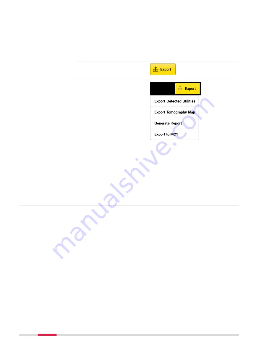
Tap on
Export
to
export the project out-
put.
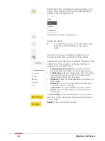
☞
1
.
Utility lines and POIs
in DXF format. Out-
put in selected Car-
tesian coordinate
system.
2
.
Current tomography
in image formats.
3
.
PDF report.
4
.
Export to MC1: Gen-
erates the detected
utilities and scan
area in dxf format,
under the MC1-com-
patible folder struc-
ture. This allows
using the DXplore
out-put directly on
the excavator con-
trolled by MC1 soft-
ware by USB sync-
ing.
6.3
Mapping Utilities Using a GNSS Antenna
Performing a scan project
This step-by-step procedure describes how to perform a scan from scratch.
This chapter gives information on how to:
•
Set up a project, new scan
•
Connect to GNSS antennas
•
Perform scanning
•
Check and follow-up of scans
•
Export the project output
Step-by-step
40
Procedures for Working with the DSX
Содержание DSX
Страница 1: ...Leica DSX User Manual Version 1 1 English ...
Страница 51: ...6 The Home screen appears with the GNSS icon in green Procedures for Working with the DSX 51 ...
Страница 53: ...Wet connectors must be dry before attaching the dust cap Connectors with dust caps Care and Transport 53 ...
Страница 57: ......


