
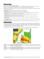


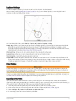


Projecting a Waypoint
You can create a new waypoint by projecting the distance and bearing from a different location. This can be
helpful when creating sail racing start and finish lines.
1 Select Waypoints > New Waypoint > Enter Range/Bearing.
2 if necessary, select a reference point on the chart.
3 Select Enter Range/Bearing.
4 Enter the distance, and select Done.
5 Enter the bearing, and select Done.
6 Select Create Waypoint.
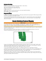
Viewing a List of all Waypoints
Select Info > User Data > Waypoints.
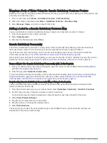
Editing a Saved Waypoint
1 Select Info > User Data > Waypoints.
2 Select a waypoint.
3 Select Review > Edit.
4 Select an option:
• To add a name, select Name, and enter a name.
• To change the symbol, select Symbol.
• To change the depth, select Depth.
• To change the water temperature, select Water Temp..
• To change the comment, select Comment.
• To move the position of the waypoint, select Position.
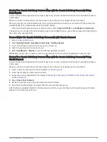
Moving a Saved Waypoint
1 Select Waypoints.
2 Select a waypoint.
3 Select Move.
4 Indicate a new location for the waypoint:
• To move the waypoint while using the chart, select Use Chart, select a new location on the chart, and
select Move Waypoint.
• To move the waypoint using coordinates, select Enter Coordinates, and enter the new coordinates.
• To move the waypoint using a range (distance) and bearing, select Enter Range/Bearing, and enter the
information.
• To move the waypoint using the vessel's current position, select Use Current Position.
46
Navigation with a Chartplotter