3-2
Garmin G500H Pilot’s Guide
190-01150-02 Rev. J
For
ewor
d
Sec 1 System
Sec 2
PFD
Sec 3
MFD
Sec 4
Hazar
d
Avoidance
Sec 5
Additional Featur
es
Sec 6
Annun. & Alerts
Sec 7
Symbols
Sec 8
Glossary
Appendix A
Appendix B
Index
There are map ranges available, from 500 feet to 500 NM. The range
is now indicated in the box on the range ring at the 11 o-clock position
relative to the ownship. To change the map range on any map, press the
RNG
keys on the right side of the bezel.
3.1 Navigation Map Pages
Map displays are used extensively in the GDU 620 to provide situational
awareness in flight. The following information can be displayed on the
Navigation Map Pages:
•
Airports, NAVAIDs, airspace,
airways, land data (highways,
cities, lakes, rivers, borders, etc.)
with names
• Map Pointer information (distance
and bearing to pointer, location of
pointer, name, and other pertinent
information)
• Map range
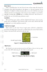
• Wind direction and speed
• Map orientation
• Icons for enabled map features
• Aircraft icon (representing present
position)
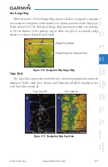
• Nav range ring
• Flight plan legs
• Track vector
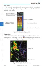
• Topography scale
• Topography data
• XM NEXRAD Weather
• XM Lightning
• XM Storm Cells
• Traffic
• Stormscope
• Top of Climb
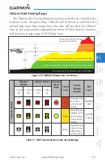
• Terrain data (includes terrain,
obstacles, and power lines)
Symbols used on the MFD are detailed in Section 7.
NOTE:
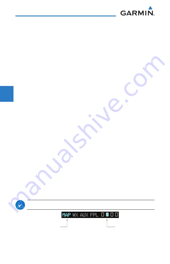
Page Group and Page are shown at the bottom of the MFD.
Page Group
Turn Large
MFD
knob
Page
Turn Small
MFD
knob
Figure 3-2 Page Group and Page Locator
Содержание G500H
Страница 1: ...G500H Pilot s Guide ...
Страница 365: ......

