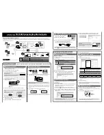
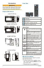


Introduction
7
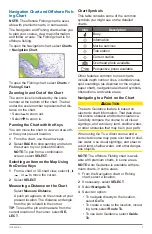
Navigation Chart and Offshore Fish-
ing Chart
NOTE
: The offshore Fishing chart is avail-
able with premium charts, in some areas.
The Navigation and Fishing charts allow you
to plan your course, view map information,
and follow a route. The Fishing chart is for
offshore fishing.
To open the Navigation chart, select
Charts
>
Navigation Chart
.
To open the Fishing chart, select
Charts
>
Fishing Chart
.
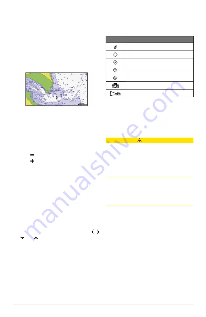
Zooming In and Out of the Chart
The zoom level is indicated by the scale
number at the bottom of the chart. The bar
under the scale number represents that dis-
tance on the chart.
•
Select to zoom out.
•
Select to zoom in.
Panning the Chart with the Keys
You can move the chart to view an area oth-
er than your present location.
1
From the chart, use the arrow keys.
2
Select
BACK
to stop panning and return
the screen to your present location.
NOTE
: To pan from a combination
screen, select
SELECT
.
Selecting an Item on the Map Using
the Device Keys
1
From a chart or 3D chart view, select ,
, , or to move the cursor.
2
Select
SELECT
.
Measuring a Distance on the Chart
Select
Measure Distance
.
A push pin appears on the screen at your
present location. The distance and angle
from the pin is listed in the corner.
TIP
: To reset the pin and measure from the
current location of the cursor, select
SE-
LECT
.
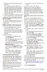
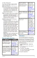
Chart Symbols
This table contains some of the common
symbols you might see on the detailed
charts.
Icon
Description
Buoy
Information
Marine services
Tide station
Current station
Overhead photo available
Perspective photo available
Other features common to most charts
include depth contour lines, intertidal zones,
spot soundings (as depicted on the original
paper chart), navigational aids and symbols,
obstructions, and cable areas.
Navigating to a Point on the Chart
CAUTION
The Auto Guidance feature is based on
electronic chart information. That data does
not ensure obstacle and bottom clearance.
Carefully compare the course to all visual
sightings, and avoid any land, shallow water,
or other obstacles that may be in your path.
When using Go To, a direct course and a
corrected course may pass over land or shal-
low water. Use visual sightings, and steer to
avoid land, shallow water, and other danger-
ous objects.
NOTE
: The offshore Fishing chart is avail-
able with premium charts, in some areas.
NOTE
: Auto Guidance is available with pre-
mium charts, in some areas.
1
From the Navigation chart or Fishing
chart, select a location.
2
If necessary, select
SELECT
.
3
Select
Navigate To
.
4
Select an option:
•
To navigate directly to the location,
select
Go To
.
•
To create a route to the location, includ-
ing turns,select
Route To.
•
To use Auto Guidance, select
Guide
To
.