


SerVision
Embedded Video Gateway System Guide
Configuring Sensor and Activator Settings
138
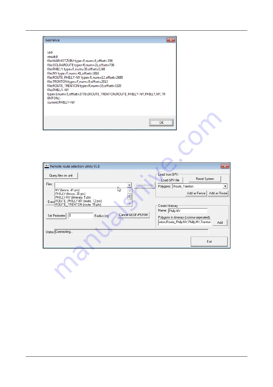
Figure 157: List of geo-fence files on the Video Gateway
2. Click
OK
. The dialog box closes.
3. In the
Files
dropdown list, select the item you want to activate.
Figure 158: List of geo-fencing files displayed
Note:
In the list, the names of the fences and routes are followed by their type (either “fence” or “route”) and
the number of points there are in the polygons that describe them. The names of the itineraries are followed by
their type ("itinerary") and the number of polygons they contain.
Note:
This list is not updated automatically when you upload files to the Video Gateway or erase files from it.
It is only updated when
Query files on unit
is selected.
4. Select
Set active file
. The selected geo-fence boundary is activated, and a confirmation message appears.