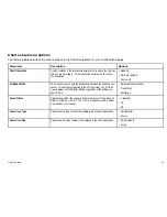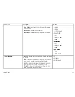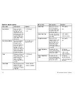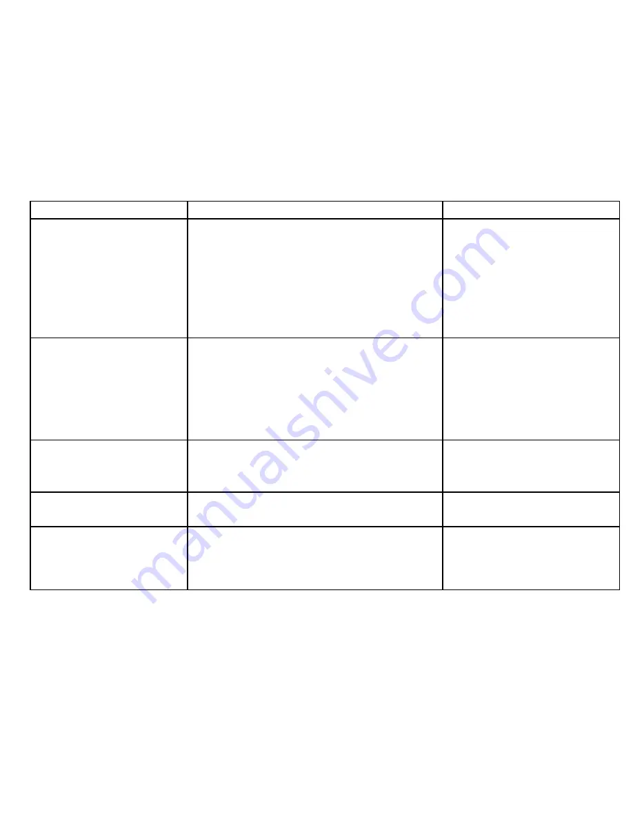
Menu item
Description
Options
Safety Contour
The chart will use this depth as the deep water boundary. Water areas
of depth greater than this will be colored using the appropriate
Deep
Water Color
.
• OFF
• 7 ft
• 10 ft
• 16 ft
• 20 ft
• 33 ft
• 66 ft (default)
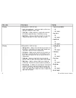
Depth Contour
The depth contour is shown on the chart display as a line indicating
the depth at a particular position.
• OFF
• 16 ft
• 20 ft
• 33 ft
• 66 ft
• ALL (default)
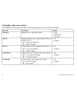
Nav. Marks
Determines whether navigation marks are displayed on the chart:
•
OFF
— navigation marks are NOT displayed.
•
ON
— navigation marks are displayed.
• OFF
• ON (default)
Nav. Marks Symbols
Determines which set of navigation mark symbols is used —
International, or US. These symbols correspond to paper charts.
• International (default)
• US
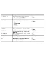
Light Sectors
Determines whether the sector of light cast by a fixed beacon is
displayed or not.
•
OFF
— sector of light is NOT displayed.
•
ON
— sector of light is displayed.
• OFF
• ON (default)
Using the chart
97
Summary of Contents for E90W
Page 2: ......
Page 4: ......
Page 16: ...16 E Series Widescreen User reference...
Page 40: ...40 E Series Widescreen User reference...
Page 46: ...46 E Series Widescreen User reference...
Page 68: ...68 E Series Widescreen User reference...
Page 100: ...100 E Series Widescreen User reference...
Page 200: ...200 E Series Widescreen User reference...
Page 210: ...210 E Series Widescreen User reference...
Page 220: ...220 E Series Widescreen User reference...
Page 224: ...224 E Series Widescreen User reference...
Page 228: ...228 E Series Widescreen User reference...
Page 244: ...244 E Series Widescreen User reference...
Page 248: ...248 E Series Widescreen User reference...
Page 249: ......
Page 250: ...www raymarine com...


