MAIN FUNCTIONS
17
The
Itinerary
tab lists the single waypoints of a route, and shows the turns
and the distance between them.
The
Summary
tab shows relevant information about the route, for
example, the distance or the time needed to reach the destination.
To switch between the
Itinerary
and
Summary
tabs, scroll left or right.
Select
Options
and from the following:
•
Show on map
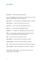
— To show the highlighted waypoint on the map
.
To switch between waypoints, scroll up or down.
•
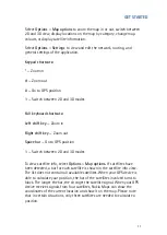
Start navigation
— To start turn-by-turn navigation (extra
service) with GPS (See Turn-by-turn navigation, p. 19).
•
Options
>
Start simulation
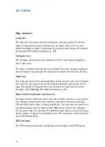
— To run a simulation of turn-by-
turn navigation without GPS.
Save a location
You can save your favourite locations as landmarks to quickly access them
when planning your route.
The
Save
command is available in different context-sensitive menus
throughout the application. The following procedure is just an example.
1.
Browse the map.
2.
To open the context-sensitive menu, press the scroll key.
3.
Select
Save
>
As landmark.
4.
Edit the name of the landmark if necessary, and select
OK
.
5.
Choose a category for the landmark, and select
OK
.
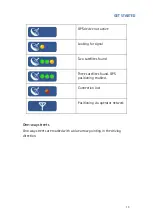
You can also take a screenshot of the map (
Save
>
As image
). The image is
saved in your device’s default gallery folder.
Summary of Contents for 0276822 - Navigation Kit - GPS
Page 1: ......
Page 3: ...3 General settings 25 Map 25 Map complexity 25 ...


