Safety depth
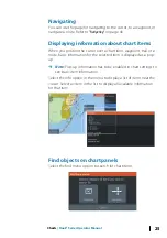
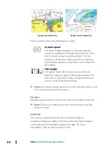
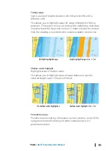
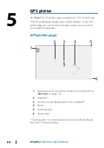
The Navionics charts use different shades of blue to distinguish
between shallow and deep water.
Safety depth, based on a selected limit, is drawn without blue
shading.
Ú
Note:
The built in Navionics database features data down to 20
m, after which it is all white.
Chart details
Provides you with different levels of geographical layer information.
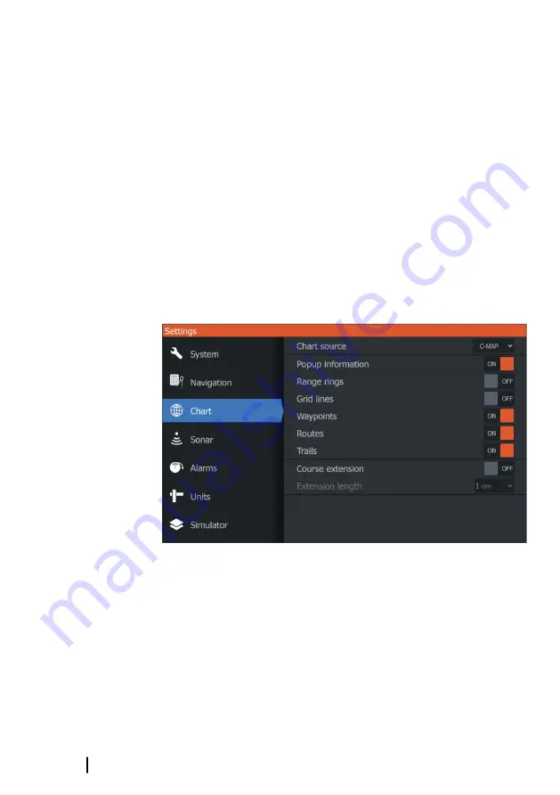
Chart settings
Select the settings option in the System Controls dialog to access
the chart settings dialog.
Chart source
Change chart source if a chart card is inserted.
Pop-up information
Selects whether basic information for panel items is displayed when
you select the item.
32
Charts
| Hook² Series Operator Manual

