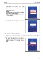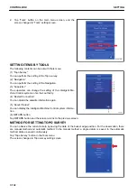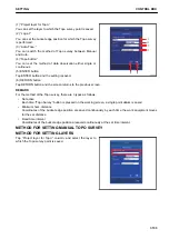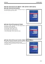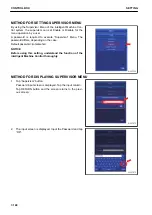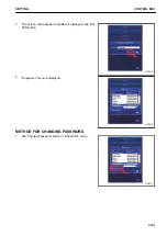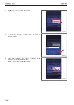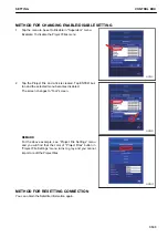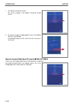
METHOD FOR SETTING MINIMUM HORIZ. DISTANCE
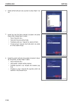
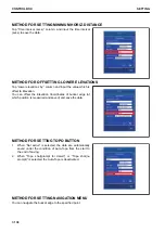
Tap “Time interval (secs):” column, and input the time interval
(secs) to save the data.
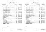
METHOD FOR OFFSETTING LOWER ELEVATIONS
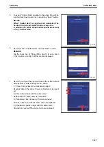
Tap “Lower elevations by:” column and input the value which is
offset to Elevation.
You can offset the Elevation Coordinates of bucket edge (of
which position is measured and saved) and save the data.
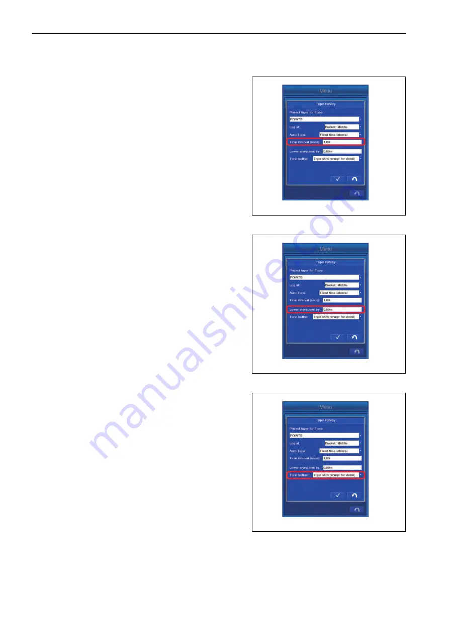
METHOD FOR SETTING TOPO BUTTON
1.
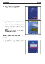
When “Not active” is selected, the data are automatically
saved under the condition of Auto-Topo from the start to
the end of saving.
2.
When “Topo shot(prompt for detail)” or “Topo shot(no
prompt)” is selected, the Auto-Topo is deactivated.
METHOD FOR SETTING NAVIGATION MENU
You can navigate the bucket edge to the specified point.
CONTROL BOX
SETTING
7-138
Summary of Contents for A31001
Page 12: ...LOCATION OF SAFETY LABELS Options are shown with marks in the figure SAFETY LABELS SAFETY 2 4...
Page 106: ......
Page 107: ...SPECIFICATIONS 5 1...
Page 110: ......
Page 116: ......
Page 117: ...SETTING 7 1...
Page 311: ...EXECUTIONS 8 1...
Page 376: ...PC360LCi 11 PC390LCi 11 HYDRAULIC EXCAVATOR Form No CEAM032703...


