Tutorial 2: Working with Data
67
3.
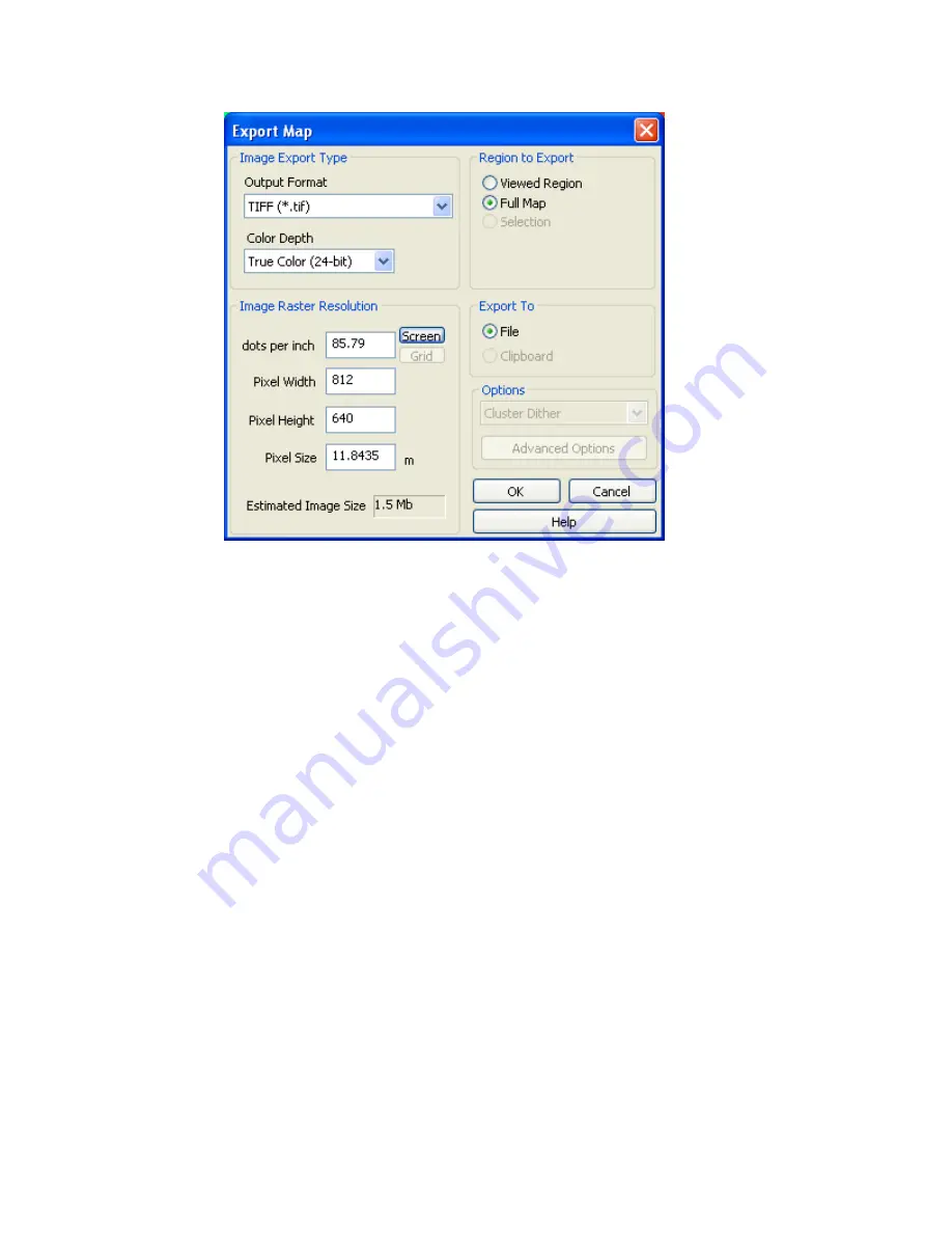
In the
Image Type
box, choose the
Output Format
as (
TIFF (*.tif)
) and select the
Colour Depth
(
True Color (24-bit)
)
4.
In the
Region to Export
box click the (
Full Map
) option.
5.
In the
Image Resolution
box, change the
Pixel Size
to
35.75
.
Note:
Pixel Size is t
he number of ground units each pixel in the image represents. In
the example above, each pixel in the exported map represents
35.75
meters.
You can set the pixel size to match the grid cell size
closely*
. However,
rounding error usually prevents the grid cell size from exactly equalling the
pixel size.
6.
In the
Export to
box click
File
.
7.
Click
[OK]
to export the
Oasis montaj.map
in tiff format. The
Export file name
dialog is displayed.
8.
Specify a file name for the tiff file and click
[Save]
. The tiff file is saved in your
project directory.
Printing Maps in Oasis montaj
Oasis montaj
, by default, uses your Windows system drivers to create printer or plotter
output. When you start printing maps for the first time, you will most likely accept the
defaults. Depending on your driver’s performance however, you may want to add a new
configuration that uses more advanced printing options.
Geosoft provides a special printer setup capability that starts an internal rasterizing engine
that performs most of the print/plot processing and passes it to the driver for final output.


