Ch. 3 Installation Tool
Remote Unit Installation
Installation Tool Operation
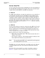
Service Utilities
28
Pre-Production
1106333-01
Revision 3
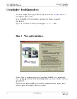
Step 3
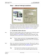
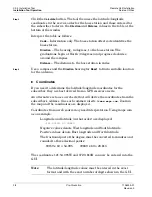
Click the
Calculate
button. The tool then uses the latitude/longitude
coordinates in the service order for the base station and those entered for
the subscriber to derive the
Direction
and
Distance
values in the table at the
bottom of the window.
Interpret the table as follows:
Code
– Information only. The base station offset code identifies the
base station.
Direction
– The bearing, in degrees, to the base station. The
graduations begin at North (0 degrees) and progress clockwise
around the compass.
Distance
– The distance to the base station in miles.
Step 4
Use a compass and the
Direction
bearing for
Base1
to find a suitable location
for the antenna.
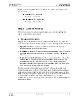
Coordinates
If you need to determine the latitude/longitude coordinates for the
subscriber, they are best derived from a GPS receiver on site.
An alternative is to use a web site that will derive the coordinates from the
subscriber’s address. One such commercial site is
www.maps.com.
Zoom in
the map and the coordinates are displayed.
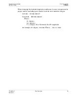
Coordinates from a web source may need interpretation. Using maps.com
as an example:
Longitude and latitude (in that order) are displayed:
-121.90159 37.39689
Negative values denote West longitude and South latitude.
Positive values denote East longitude and North latitude.
The fractional part of the degree must be converted to minutes and
rounded to three decimal points:
.90159 x 60 = 54.095
.39689 x 60 = 23.813
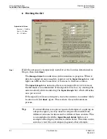
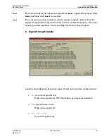
The coordinates 121:54.095W and 37:23.813N can now be entered into the
GUI.
Note
:
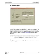
The latitude/longitude values must be entered in the exact
format and with the exact number of digits shown in the GUI.

